A slow-moving weather system that has been drenching our area is finally going to move out of the area by Saturday. But Flood Warnings remain in effect for much of East Central Illinois and West Central Indiana until Friday afternoon.
Shortly before 4:00 p.m. Thursday, law enforcement and Emergency Management Agencies reported many locations – especially rural locations – were still experiencing flooding. The heaviest rainfall since Wednesday has generally fallen from the I-70 corridor northward through the Paris and Charleston areas. Totals of 3 to 5 inches of rain are very common in that area. And an additional half-inch to one-inch of rain was expected Thursday night…causing the flooding to linger.
A Flood Warning is scheduled to remain in effect until 3:45 p.m. Friday (May 5th) for Vermilion, Southern Champaign, Douglas, Edgar and Coles counties in East Central Illinois….and Christian, Moultrie, Shelby and Macon counties in central Illinois.
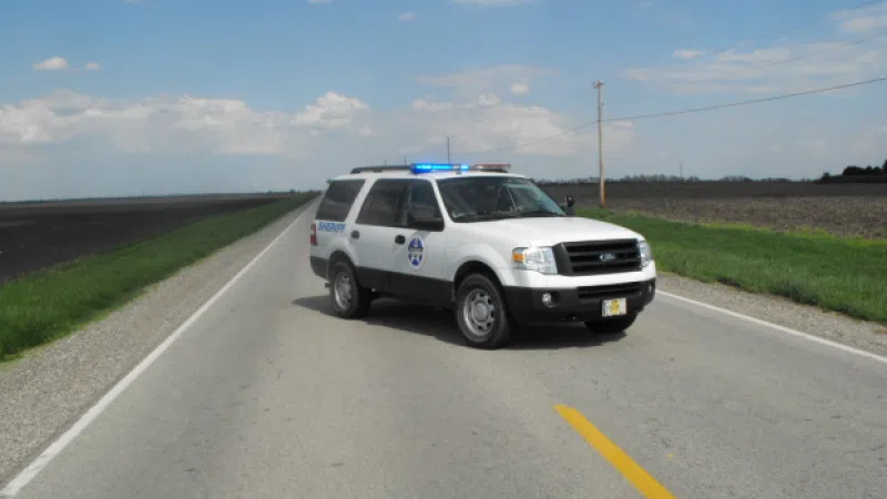
Excessive runoff from the heavy rain will continue to cause flooding of creeks, streams, country roads, farmland and other low-lying areas. Not all flooded roads have been barricaded, and remember that the flood waters are particularly difficult to see at night. Motorists should use extreme caution, and remember to never drive into areas where water is running across a road.
On Saturday and Sunday partly to mostly sunny skies are expected. And by Wednesday temperatures will climb into the 70s.


