Weather is going to be impacting some of the New Year’s plans in our area. If you are planning to travel over the New Year’s holiday period be prepared for the possibility of slick roads. And make sure you not only dress for the occasion, but to protect yourself from the bitter cold. A Wind Chill Advisory is in effect for our area from 6:00 p.m. Saturday until noon on Tuesday.
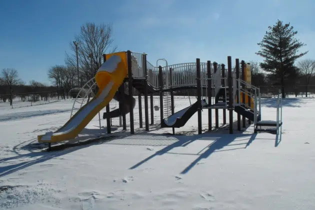
Some of the coldest weather so far this winter is embedding itself in our area for the start of 2018. Temperatures on Saturday will drop throughout the day – down to around 2 degrees above zero by 5:00 p.m. Saturday night’s low temperatures are expected to be around 5 below zero, and Sunday’s high is expected to remain in the single digits. Sunday is expected to be partly sunny, but very cold, with high temperatures around 7 before plunging to 7 to 10 below zero for New Year’s Eve. And on Monday…New Year’s Day….sunshine is expected but with a high only around 2. And then Monday night, the bottom falls out as overnight lows plunge to near 15 below zero!
Temperatures are not expected to be much better on Tuesday and Wednesday when daytime highs will range from 8 to 15 and nighttime lows drop again to near zero. And then the next chance of snow is coming Wednesday.
The National Weather Service suggests you limit your exposure outdoors in these bitterly cold conditions. Wear layered clothing and make sure you protect your hands and other areas from frostbite. Also, if you are traveling for the holiday, make sure you have an emergency kit in your vehicle…including such things as blankets, a flashlight, non-perishable food items and other emergency supplies.